Environment Canada is forecasting snow to begin over the Avalon late this evening and move northward, becoming heavy at times — up to 3 cm per hour — near midnight and into early Thursday morning.
The snowfall, in the 10-15 cm range, will combine with strong southeasterly winds reducing visibility overnight and early Thursday morning.
You’ll want to get that snow cleared away quickly as the precipitation is expected to shift to freezing rain, drizzle and then showers Thursday morning.
Meanwhile, 10 to 25 cm are on the way for all areas between Terra Nova and the eastern side of the Northern Peninsula before it’s all said and done Thursday night.
Winds will pick up Thursday morning and spread to the southeast throughout the day, reaching gusts of 70 to 90 km/h, higher in exposed areas.
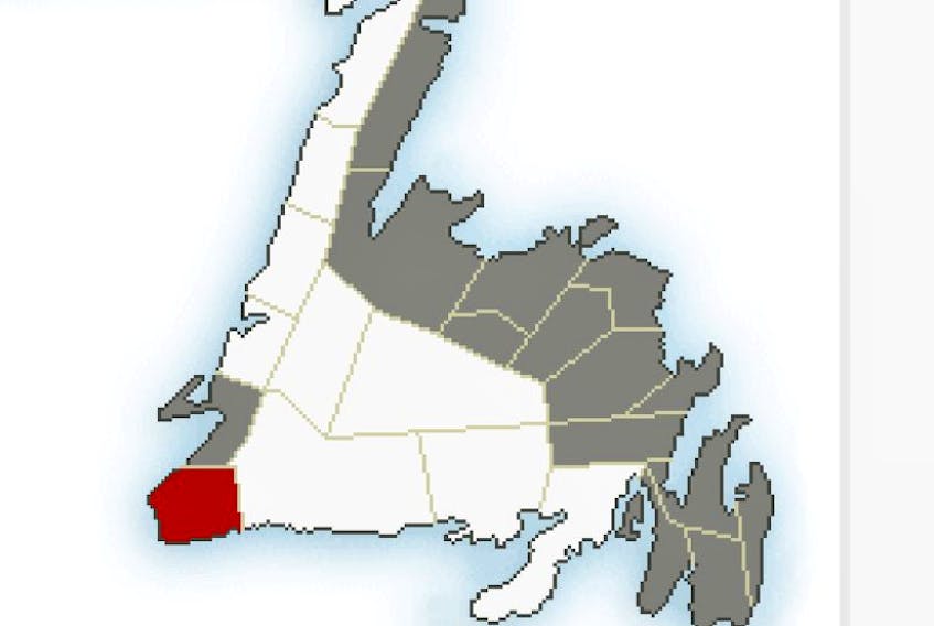
The Bay St. George region will also get a dose of winter weather starting tonight and into Thursday with a blowing snow advisory in effect.
Northwesterly winds gusting between 70 and 100 km/h will start in the morning and combine with up to 15 cm of snow before conditions slack off after midnight.
A wind warning is also in effect for the Channel Port aux Basques area with gusts up to 100 km/h developing near noon and diminishing by midnight.