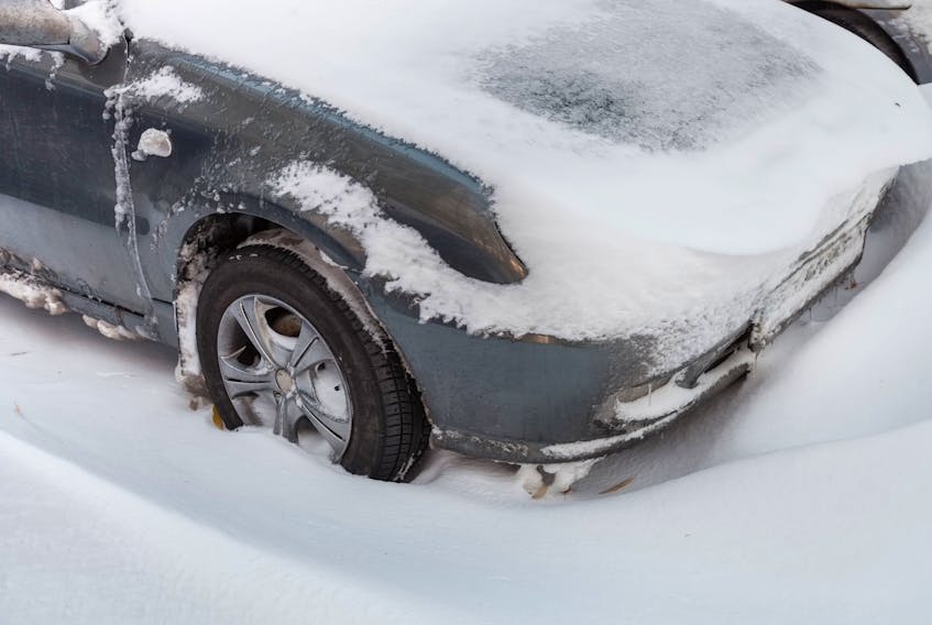
The first snowstorm of the season is set to hit St. John’s and vicinity Saturday.
Environment Canada says an intense low pressure system will approach from the south Saturday and it will pass just east of the Avalon Peninsula Saturday evening. This track will bring heavy snow and brisk northerly winds to southeastern Newfoundland. This will be the first significant snowstorm of the season for southeastern Newfoundland.
Light snow will develop over the Southern Avalon and Burin Peninsulas Saturday morning and spread to Clarenville, the Bonavista Peninsula, the Northern Avalon and St. John's metro region by noon, Environment Canada says. The snow will become heavy at times during the day and persist into Saturday night with total snowfall amounts between 10-15 cm are by late afternoon Saturday. Further significant amounts are expected Saturday night.
The snow will also come with strong northerly winds. The strongest winds are expected Saturday night as the low passes. These winds will combine with the fresh snowfall to cause widespread reduced visibilities in blowing snow Saturday night, Environment Canada said, noting onditions are expected to improve overnight Saturday night and into Sunday morning.
Travellers are advised visibility will be affected and road conditions could be hazardous in spots, so they should check the forecast routinely.


