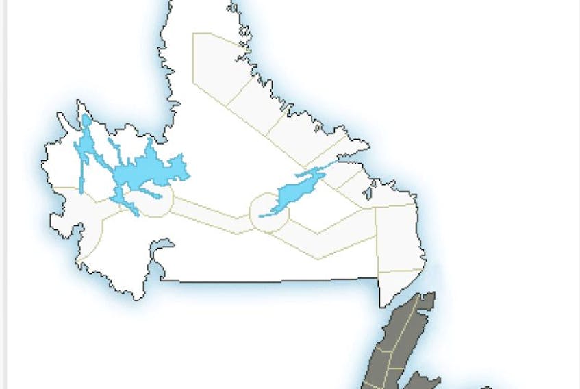
Special weather statements remain in effect for other parts of the island, with 5-15 cm expected for most and 10-20 cm for some other areas, including the Great Northern Peninsula, Bay of Exploits, Gander and vicinity.
Some schools in central have delayed openings. Updates on all schools can be found here.
In St. John's and area, heavy snow and blowing snow are expected during the Thursday morning commute, Environment Canada says. The Avalon Peninsula, Clarenville area and Bonavista Peninsula is under the same advisory.
Light snow will develop over the Avalon tonight and spread northward.
Snow will become heavy at times near midnight with snowfall rates of 3 cm per hour or more possible overnight and early Thursday morning.
The heavy snow will combine with strong southeasterly winds to reduce visibility overnight and early Thursday morning. Snow will transition through freezing rain to drizzle or showers Thursday morning.