Rainfall, amounts of 25-35 mm are expected with higher amounts possible on higher terrain, Environment Canada says.
Rain is expected to begin this evening and continue overnight with strong southerly winds. Warm temperature may also result in significant snow melt and rapidly rising water in rivers and brooks.
People are advised to watch for local flooding and washouts near rivers, creeks and culverts.
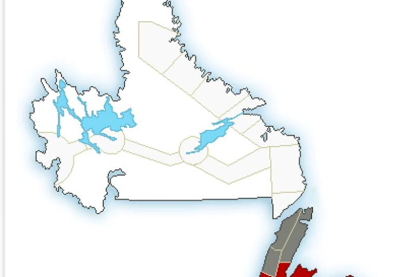
Freezing rain is also forecast for Thursday into Friday in the Corner Brook area.
There are also freezing rain warnings for Bay of Exploits, Bonavista North, the Bonavista Peninsula, Buchans and the interior, Deer Lake-Humber Valley, Gander, Grand Falls-Windsor, Terra Nova and Gros Morne.
Meantime, the Northern Peninsula East, Parson's Pond-Hawke's Bay and Port Saunders and the Straits are facing a special weather statement concerning a prolonged period of freezing rain that begins Thursday evening and changing to freezing drizzle Friday.