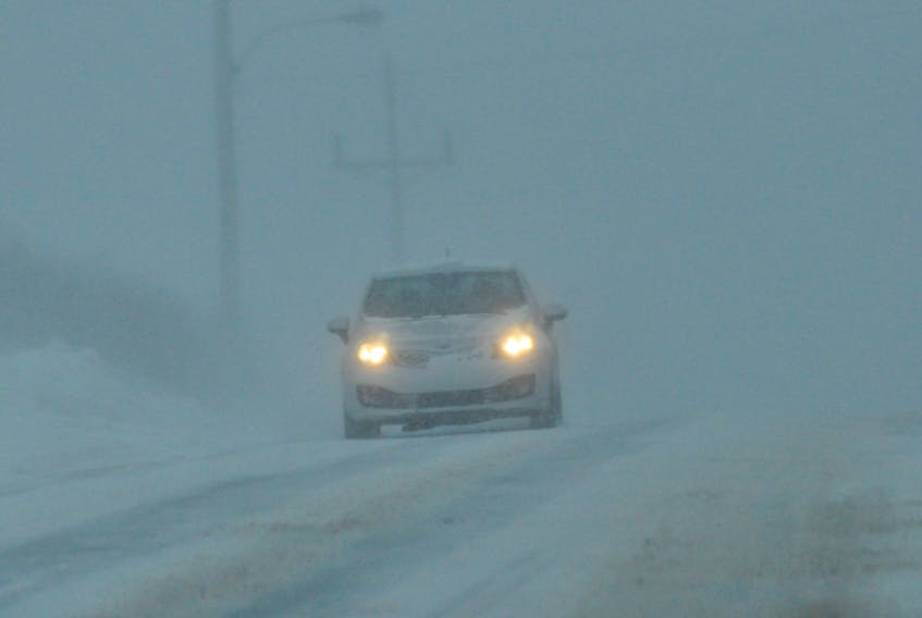
A winter mix of precipitation will bring the past few days of uncharacteristically mild weather to a halt on the Avalon and Burin Peninsulas.
A special weather statement has been issued by Environment Canada for St.John's and vicinity in addition to the northern, southeastern and southwestern portions of the Avalon Peninsula and the Burin Peninsula regions. This statement was issued shortly after 5 a.m. Monday morning.
Snow will begin overnight Monday and will change to ice pellets and freezing rain by Tuesday morning.
The forecast calls for 10-15 centimetres of snow and ice pellets during this period and followed by a significant amount of freezing rain that will intensify by Tuesday morning. This is expected to reach the highest intensity during the rush hour (7-9 a.m.) period on Tuesday morning.
Motorists are being urged to use extreme caution during this period on the Southeastern Avalon and in and around roadways in the St. John's area during the morning commute.
Temperatures will rise throughout the morning creating rain and fog which will taper off Tuesday evening.
Residents are asked to continue monitoring weather reports to get updates for their respective areas. For more on this special weather statement, The Telegram readers can go to www.weather.gc.ca.
[email protected]