Environment Canada has special weather statements in effect for the entire island portion of Newfoundland forecasting wintry weather as likely for this weekend.
According to the agency, a low-pressure system will approach the island from the southwest on Friday. There is still some uncertainty in the timing and development of the system, however, meaning the onset, duration and intensity of the weather is unclear at this time.
As it currently stands, it looks like the system will bring snow to island starting on Friday night in the south, where it will likely change to or become mized with periods of rain by Saturday afternoon. From the south, the snow will spread northwards on Saturday.
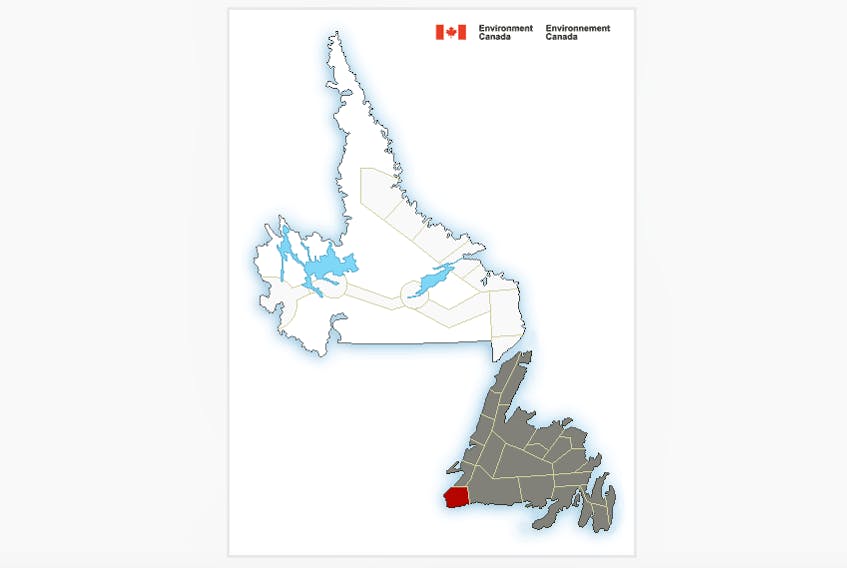
Meanwhile, a Wreckhouse wind warning has been issued for Channel-Port aux Basques and vicinity.
Strong southeasterly winds gusting to 100 kilometres an hour are forecast to develop in the area this evening.
Wind gusts are expected to increase to 110 km/h overnight and continue through Friday. The winds will strengthen further Friday night before gradually diminishing late in the day on Saturday.