“Convincing seasoned hikers of the benefits of a walk on a breathtaking coastal trail is preaching to the converted,” the four co-authors contend in their opening address. “But for those just discovering hiking, we hope the joy of the activity and appreciation of the natural environment of the island of Newfoundland will make converts of you, too.”
In either case, the depth of information in the following pages will be useful to all categories of hikers eager to embark on or re-experience “some of the best hikes you will encounter in the world.”

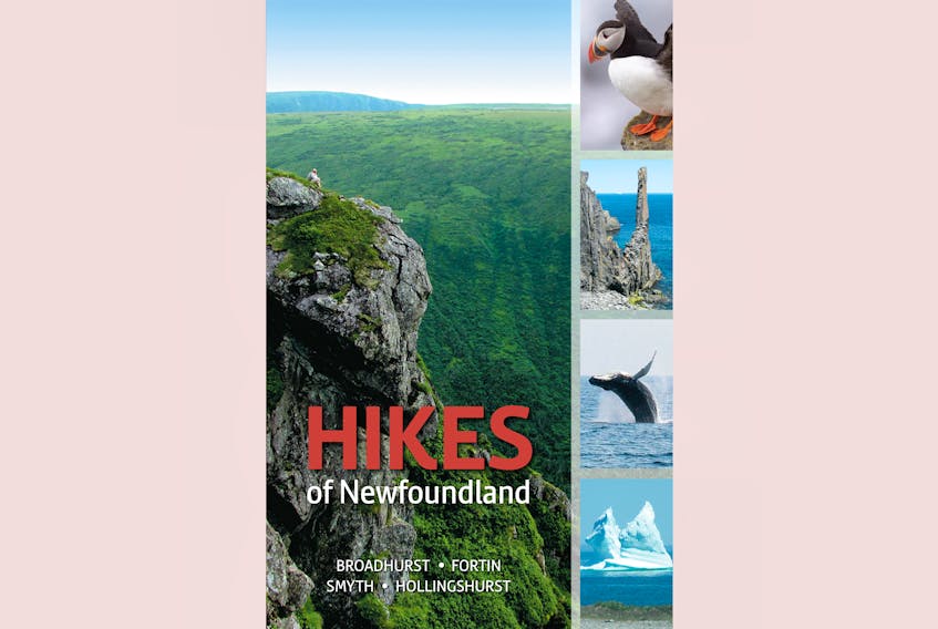
Organized geographically, “Hikes of Newfoundland” enfolds the southwest coast, Bay of Islands and Humber Valley, Gros Morne National Park, Fogo Island, and the Northern, Bonavista, Burin, and Avalon peninsulas. These are colour-coded (blue for Northern peninsula, purple for the East Coast Trail).
Katie Broadhurst and Alexandra Fortin covered the western trails, Mary Symth and Fred Hollingshurst the eastern. Each section is composed of two-page descriptions of up to two dozen separate trails.
These are formatted quite specifically, crisply, and helpfully. To start off there are Trail Ratings: Easy, Moderate, Difficult, Strenuous, and Wilderness. Easy is “Beginner-friendly … from less than 1 kilometre to 7 kilometres return” on surfaces of “generally gravel walkways, boardwalks, or footpaths.” Difficult ranges “from 9 to 17 kilometres” with “elevation changes, often greater than 250 metres” and “may include steep climbs or scrambles.” Strenuous can be 17 kilometres, “very rugged,” “sometimes with logs, boardwalks, or bridges in wet areas.”
Accompanying icons include boots, tents, and compasses, which, depending on their palette, indicate secondary trails, whether or not overnight camping is needed, and the level of compass skills required (“Do not rely only on a Global Positioning Device”).
Legends denote campsites, trailheads, and lighthouses. Text boxes note amenities, highlights, permits and fees, and “interesting information: Historical notes, natural feature highlights, geologic information, personal observations, and recommendations.”
There are introductory passages on Newfoundland weather (“difficult to predict”), tides, wind and fog (the latter “is particularly dangerous if you are venturing near cliffs”), and animals (“Wild animals are unpredictable, even if they appear tame. Do not get too close and do not feed them.” “It is usually a good idea to run from a moose [unlike bears] because they won’t chase you far and you can run around a tree faster than a moose can. Moose are not agile.”)
The how-tos of planning offer advice on necessary equipment, “Hiking with pets,” and practicing “Leave No Trace Principles.”
Then we’re on to the trails. Each one features maps, and up to five colour pictures. As an example, the first entry, “Harvey Trail,” shows coastal views and a gazebo, with reports on distance, terrain, amenities (including a “café, and outhouses”), and “Keep in mind: Be aware of slippery rocks, tides, and ocean waves.”
A few pages along, The French Shore Trail stretches from Conche to Cape Eagle, and is “a backcountry route, not a maintained trail; most hikers take two days (one night in a tent).” Photos here sport icebergs and a stunning sunset. And to “Keep in mind: This is a very remote area. The best communication option is a marine radio.”
The Burin Peninsula’s hikes include Chambers Cove, where three U.S. Navy ships ran aground in brutal weather on Nov. 18, 1942. Over 200 of the sailors were lost, but local residents heroically saved 186.
Next to that comes the Long Range Trail, with Garnish a starting point, where a storyboard explains “Philip and Charles Grandy, born on Jersey in the British Channel Islands, were the first to settle here, having been forced out of the French island of St-Pierre.” The trail’s Salt Pond and Capt. Cook Lookout pathways include crushed gravel, boardwalk, and stairways, and are relatively gentle (although the Lookout involves a steep climb).
The concluding pages include sections on the wildflowers, birds, and land mammals of Newfoundland. Identified with full colour photographs, floral depictions might include: “Creeping buttercup / Ranunculus repens / Flowers: May to August / Habitat: Wet areas, ditches.” “Equipment checklist for day hikes” and one for “multi-day hikes” include recommended amounts of water, extra food, whistles, and types of footwear. Indexes are sorted “by place name” and “by hike difficulty.” They have thought of everything.
“Hikes of Newfoundland” has gorgeous production values — it’s full of colour and the texture of the pages and cover feels wonderful. I’m not sure what our status will be when this column is published, but as I’m writing our Chief Medical Officer of Health Dr. Janice Fitzgerald, encourages this socially distanced activity.
So both a chic and timely tome.
Joan Sullivan is editor of Newfoundland Quarterly magazine. She reviews both fiction and non-fiction for The Telegram.