The weather forecast for the next few days was sounding eerily familiar Friday as David Neil explained the low-pressure system moving towards the western portion of the province.
Neil is a warning preparedness meteorologist with the Newfoundland Weather Centre in Gander.
“We’ve definitely been having some conversations about this one,” he said. “It’s going to be quite a nasty one really for the whole island, but it looks like western Newfoundland could be hit pretty hard with this one.”
The system will bring a mix of precipitation — heavy snow and heavy rain — much like the conditions of Jan. 12, 2018 that resulted in major flooding and devastation all along the west coast.
The current long-range guidance is suggesting the brunt of the precipitation will be more towards the western half of the island, out towards central and along the south coast.
Last year’s numbers showed the highest amount fell in Daniel’s Harbour at 58.5 mm. Some areas of the Northern Peninsula saw 25 mm and other areas along the west coast saw 35-50-plus millimetres.
Neil said the storm track was a little different last year, but it’s still a low pressure tracking west of the island bringing in a lot of warmer air.
“This one could be quite tangling, especially for western Newfoundland — it does have some look to what that storm did last year.”
Along with the rain the region could see temperatures get into the higher single digits.
Neil said the east and southeast winds could also be a concern and it’s likely there will be a wind warning at the Wreckhouse and along the west coast.
There were no warnings issued as of Friday morning, but Neil said they were likely on the way. A special weather statement was issued at 3:45 p.m.
What to expect
- The heavy stuff could start to move in during the evening hours and continue into the overnight. It will then change to ice pellets and freezing rain and to rain by Monday morning.
- Corner Brook should be seeing a mix of freezing rain on higher terrains and rain on the lower levels.
- The mix of snow and ice pellets will move along the Northern Peninsula a little later in the morning.
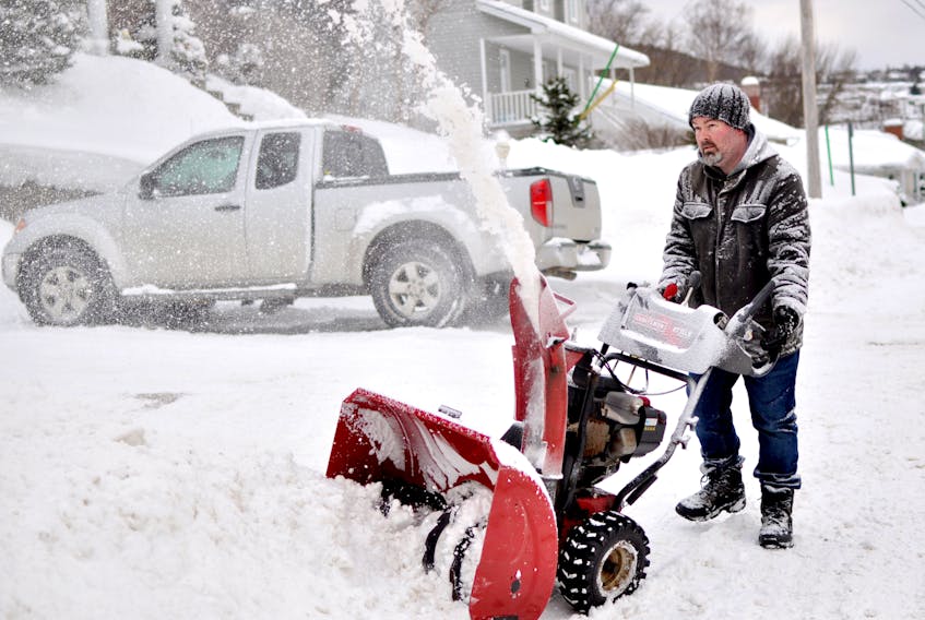
Snowfall amounts from Sunday into Monday could be 10 centimetres along the south coast and into central, more than 15 cm in the Corner Brook area and in excess of 25 cm on the Northern Peninsula.
- There’s still some uncertainty with the long-range prediction on rainfall, but the models Friday were showing more than 25 millimetres over western and in excess of 50 mm on the south coast.
Current snow depth
Deer Lake Airport: 73 cm
Stephenville Airport: 35 cm
These amounts are not the total snowfall for the winter, just what’s being reported right now on the ground.
Getting ready
Communities around the west coast, including Corner Brook, Massey Drive, Pasadena and Deer Lake have been taking action to prepare for the coming storm, with many of them cleaning ditches and catch basins.
In Corner Brook, crews were working on catch basins in the Curling, west side, east side and on Maple Valley Road.
Widening of main and side roads was also being done. After that’s done the loaders with snow baskets will be changed for ice and snow removal.
Priority headwalls are also being cleared.
Depending on the rainfall accumulation the city will place backhoes and excavators on priority headwalls and bridges to reduce the chance of blockages.
Public works trucks are being equipped with flood control tools and sand bags.
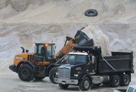
The sand supply is being evaluated for quick access and sand bags and calcium are being replenished. Additional sand has been placed at the civic centre lower parking lot for residential use.
All fire department vehicles are prepared to respond to weather-related emergencies and extra staff support will be added if required.
Residents can call the customer service line at 637-1666 to report any signs of flooding or other hazards.
In addition to clearing the infrastructure, Massey Drive is asking residents to make sure any trouble spots on their own properties are clear so that water can find its way into the storm sewer collection system.
Pasadena is also advising residents to ensure that residential drains (stairwells and eavestroughs) are working and clear of snow or debris, to remove snow away from their foundations and if they have a sump pump, to ensure it is working.
Deer Lake is advising residents to contact the town office at 635-2451 if they notice any ditches and catch basins that are not cleared.