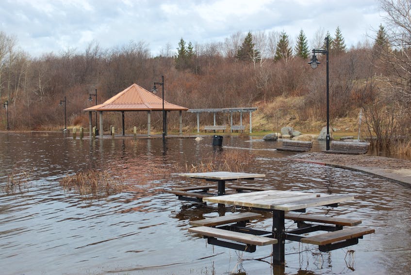
ST. JOHN’S, N.L. — The provincial and federal governments have announced just under $2 million in funding for three flood risk mapping projects in Newfoundland and Labrador.
According to a release issued by the provincial Department of Municipal Affairs and Environment on Wednesday, Nov. 14, one project will focus on municipal water supply dams, while the other two will study the Humber and Exploits rivers. The funding will also be used to update the Badger ice progression flood warning model.
The federal government is contributing $980,000 for the projects under the National Disaster Mitigation Program, while the province is matching the funding.
The maps will be critical for informing emergency responses and plans, the release indicates.
“Floods are getting more severe, more frequent, and more damaging,” Public Safety and Emergency Preparedness Minister Ralph Goodale said in the release.
“This is a threat not only to the safety of our communities, but to our economic stability.”