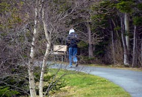
If you look out your window Wednesday evening in St. John’s, you might see a few flurries, but the island is in for much, much more by Friday.
SaltWire Network meteorologist Cindy Day says she believes it’s going to be one of the worst storms the island has seen “in a long time.”
“I wouldn’t be surprised to see 50-plus centimetres along that coastal area (of the Avalon),” she said.
“Then with the northeast wind blowing onshore, it’s a double whammy, if you will. So, it’s not going to be pretty overnight tomorrow into the day Friday.”
Day said what’s coming is known as a weather bomb.
“That’s not to frighten anyone, but a weather bomb is defined by a deepening or intensifying low pressure system, where the central pressure drops more than 24 millibars in less than 24 hours.”
Blowing snow and winter storm warnings are already in place.
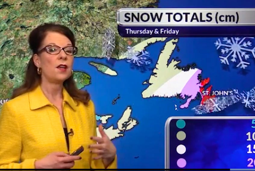
Snowfall amounts expected between Thursday night to Saturday morning:
West coast and Northern Peninsula: 10-15 cm
Central and south coast – 15-20 cm
Gander and Burin Peninsula – 20-30 cm
Avalon and Bonavista Peninsulas: 30-45 cm
Here’s how Day expects it to play out:
By Friday morning, a low pressure system from a fast-moving Alberta clipper will be off the tip of the Burin Peninsula, and by that time there will be “very heavy snow” on the Avalon and will stay very intense over central and eastern parts of the province throughout the day.
Hurricane force wind gusts around 120 km/h are expected on the east coast of the island, and blizzard-like conditions are expected for almost everyone on the island.
Snow will continue to fall on the Avalon into Friday evening and the wind will be strong out of the northeast, becoming a little more northerly.
“As it tips to the north and northwest, the snow squalls will start to pick up now along the west coast, so you’ll have a little bit of break along the west coast until Friday night to Saturday, and then the onshore snow will develop,” said Day.
Saturday morning the system pulls away, but a strong wind continues.
Significant wind chills are expected.
With plenty of dry snow, expect whiteout conditions with poor visibility for travelling throughout much of the island.