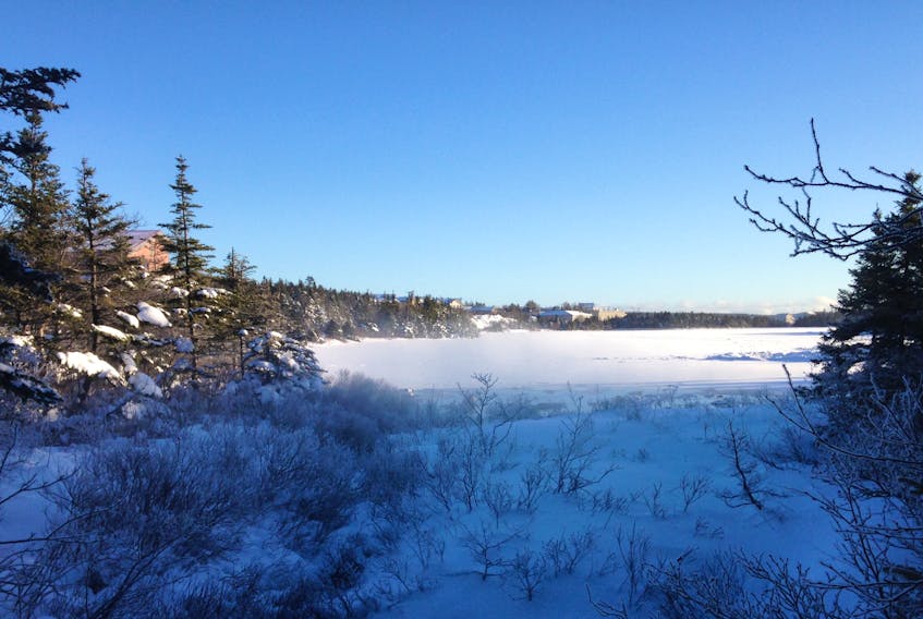
ST. JOHN'S, N.L. — It’s been a long, cold winter and many people of this province are more than happy to bid it farewell.
Spring officially arrives at 7:28 p.m. today and despite cooler temperatures, things are expected to warm up soon.
According to SaltWire Network's resident meteorologist Cindy Day, Newfoundlanders and Labradorians can expect to see temperatures a little above average with a slightly more precipitation than normal this spring.
Luckily, most of the precipitation will be rain.
“Because the temperatures are going to be a little bit above normal, I don’t see a lot of pounding snow,” Day told The Telegram.
“I mean, we’re going to get some snow before we turn the corner, but I don’t see the jet stream sitting in such a way that we’re continuously on the cold side of the system …
“Overall, not a bad spring.”

It looks good for the summer months, with seasonal to slightly warmer temperatures and less precipitation wet, she said.
“It looks like it will be pretty nice,” Day said.
When it comes to forest fires and agriculture, Day added many people prefer that combination of a wet spring and drier, warmer summer, “to help things grow.”
Day said her grandmother had an interesting method of forecasting weather. At the exact moment of the spring equinox (7:28 pm.) her grandmother would watch the wind direction. Wind from the north would indicate a cold summer, from the south, a warmer summer, from the west, a dry summer and from the east, a damp summer.
“It’s been right quite a bit, I have to say,” she said “So, it’ll be interesting to watch. People might want to keep an eye on that.”
But for now, winter may hang on just a little while longer.
While it’s expected to be mild on Saturday, with temperatures reaching up to nine degrees, with rain, Day said there’s a possibility of “a snow event” early next week.
“It’s hard to predict a storm this far in advance. I can tell you I’m looking at one that “could be quite interesting” for Tuesday afternoon across the Avalon Peninsula. It’s going to be off the coast, but backing in enough,” she said.
“So, it’s not a scenario of will it be rain or snow. This one will either be snow or nothing. It’s either going to stay off the coast or we’re going to get it.
“But after that, I think with the temperatures climbing to near normal or just above normal, I think most of the precipitation will then be changing over to rain.”
Twitter: @TelyRosie


