ST. JOHN'S, N.L. — In most years, residents of the Avalon Peninsula wouldn’t take much notice of a forecast of 20 centimetres of snow in early February.
In short, it is to be expected this time of year.
But when you factor what's happened recently, including the weather in the region this week, then 20 centimetres might seem a little bigger — or higher, if you will — than normal.
And even though we are a bit past Groundhog Day, what much of Newfoundland has been experiencing falls into the repetitive realm of the Bill Murray movie of the same name.
It seems as if we have been beginning winter over and over again.
“That’s true, because we have had so many temperature swings. … We’ve had some snow, but it’s changed to rain and washed the snow away, so we just seem to be starting over from scratch all the time,” said SaltWire Network meteorologist Cindy Day, who is calling for 20 centimetres of snow, maybe even a bit more, for the Avalon on Monday.
“I feel it’s a significant snowfall. Compared to Snowmageddon or other winters, it doesn’t (fall into the 'significant' category), but it will probably seem like it this year.”
Day’s forecast came on a Friday that saw the St. John’s metro area hit temperatures of about 8 C, making it the runner-up for warmest spot in Canada, a day after holding the national title with a similar mercury level.
What’s more, there was mid-day sunshine, leading to parades of dog-walkers and people spending time in their grass-exposed backyards or on decks well-clear of snow, all the while without really needing a jacket and having to endure the stares of neighbours thinking them mad because they were outside in February, clad in only a T-shirt.
But Friday may have also been an “enjoy-it-while-you-can” sort of day.
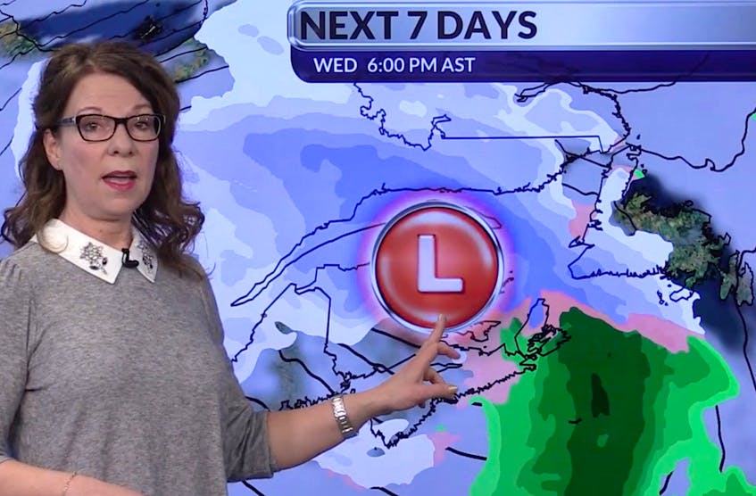
Mapped timeline of what to expect from the low-pressure system affecting weather in the Atlantic Provinces Sunday and Monday


Day said the start of next week should signal the end of the Avalon’s up-and-down weather cycle, at least for a while.
“What I also think makes (Monday) significant is that it is the beginning of a series of snow events,” Day said. “The jet stream is being pulled down. (Saturday) is going to be warm and windy, but then down comes the temperature, and the next few systems are tracking off the coast.”
Day says that means much colder temperatures and the regular appearance of snow.
“When the next system comes in, late Tuesday night to Wednesday — probably closer to Wednesday — that’s another five to 10 centimetres and then towards the end of next week, another five to 10 expected,” she said.
“And with temperatures during the day staying below freezing, it means settling into what winter should have looked like a month or two ago.”
Another big factor will be wind associated with the litany of systems due to show up next week.
“Monday, Wednesday, Friday … each time with lots of wind,” says Day. “The wind doesn’t really let up with those systems because there’s not much time for that to happen.
“You get the strong wind ahead of the system. On Monday, it will be northeast gusting to 80 to 90 kilometres per hour to go with that snow. Tuesday, it clears out, but (there will be) west winds gusting to 80 km/h and a wind chill of minus 12. Then, it’s snow again on Wednesday, and east winds, raw and gusting to 60. It tapers on Thursday, but there’s that snow Friday.
“It will be much more wintry than we’ve seen lately, in terms of a stretch of winter.”
@telybrendan