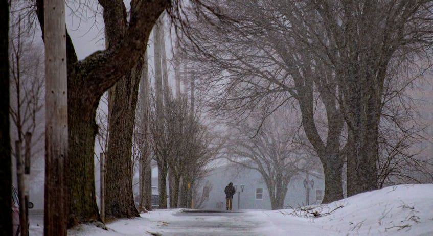
If you're a fan of snow, you're going to love Cindy Day's Monday (Jan. 6) forecast, then hate it, then love it again.
A cycle of snow, rain and then snow again is going to hit the region, starting on Wednesday, according to SaltWire Network's chief meteorologist.
But before the main event starts on Wednesday, Tuesday will see a brief bit of precipitation, Day said in an interview in her Halifax office on Monday.
"A little dusting (Tuesday) that might make people panic because we're already hearing about the next storm system, but that's not for us. That'll be one to three centimetres, in and out pretty quickly," she said.
"I call that cosmetic snow, so it just whitens things up again to make it pretty."
But Wednesday is shaping up to be one that people may make people want to work from home or lead to school closures.
"The next system that's going to involve some shoveling and maybe a snow day is going to really come in around sunrise Wednesday morning from west to east. And that'll bring, overall, 10 to 15 (cm)," Day said
"New Brunswick, not as much. Southwestern Nova, five to seven, but 10 to 15 (cm) mainland Nova Scotia, 15 (cm) Cape Breton, 10 to 15 (cm) P.E.I."

Newfoundland, which just took the brunt of a storm that passed through the region on Sunday and was still dropping some lingering flurries on that province's capital on Monday, will get off lighter this time, although the western side will get as much as 20 cm.
The system that just came through dropped 39 cm on St. John's and the winds were gusting to 93 km/h. But that wasn't the highest snowfall in the province.
"Paradise on Conception Bay South, they won the snow lottery at 44 cm," Day said. "That was a pretty intense storm. It's off the coast but it was powerful: lots of wind and lots of snow. So that was their biggest one."
Regionally, Day called Wednesday's storm "a solid 10- to 15-(cm) system."
There will be quite a bit of wind coming from the north and gusting to between 60 and 70 kilometres an hour, with cooler temperatures and the potential for blowing snow in open areas, she said.
It's going to come in with the dawn and wrap up late in the day. Thursday will be windy and cold and then things will start to warm up at the end of Friday, bringing some flurries that will change to rain overnight.
"And Saturday we could be as warm as about seven or eight degrees, with 10 to 15 millimetres of rain," Day said.
"And then the system sinks. So, we're on the warm side and then it drops down and we stay on the cold side through much of Sunday, so we could get 10 to 15 centimetres of snow with the same system."
This one will be mostly a Nova Scotia System. Newfoundland may see 5 to 10 cm.

The pattern is similar to one that set up in Nova Scotia in the winter of 2015 that saw a cycle of storms hit twice a week through February and March.
"We had (the) Wednesday-Sunday cycle," Day said. "People think that's really bizarre that it would be like that but powerful systems form in a long wave trough of low pressure, and there's only so many around the globe. And it takes a certain period of time for one to move out and the next one to come in. Little ripples of snow like the one we're getting (Tuesday) is not in a long wave, it's a couple of centimetres, it moves out. Sometimes we get a cold front that pushes through. But actual storm systems, they're usually three-and-a-half to four days apart, so we get the leading edge of one that sits and moves out, three-and-a-half days later, the next one comes.
"So Wednesday-Sunday, it's not unusual that once you start with a Wednesday storm the next one is Sunday because that's about the right timing between long-wave systems."
Day said a lot of fans have told her that her prediction of a snowy winter was off base so far, but she's holding on to that call, since winter really has only just started.
"It's similar here in that Jan. 1, 2015, there was one centimetre of snow measured on the ground at the Halifax airport, so same kind of thing: very slow-starting, then snowfall started to build a little bit in January and then February and March were near record-setting."