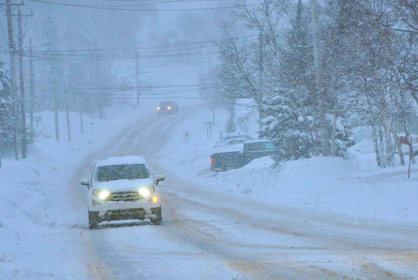
November has provided a glimpse of what is to come over the winter months for Atlantic Canada.
According to the Weather Network’s winter forecast, the recent winter weather much of Newfoundland and Labrador has experienced is just a taste of what is on the way.
"A developing El Niño typically signals a milder winter across most of the country, and for Western Canada that is exactly what we expect for the upcoming season," said Chris Scott, chief meteorologist at The Weather Network. "For the Western Prairies, this means the abnormally cold fall has not been a sign of things to come. However, from Ontario to Atlantic Canada we are seeing a snowy sneak preview of what will become the dominant pattern for winter."
A more detailed look at the conditions expected for Atlantic Canada notes that November has provided Atlantic Canada with a preview of the long and stormy winter that The Weather Network indicates is anticipated across the region.
An active storm track from the Gulf of Mexico, up the U.S. East Coast and into Atlantic Canada is expected.
While many of these storms will track offshore and keep snow as the dominant precipitation type across the region, some of these storms will track further north. This will bring very mild temperatures and rain at times, especially to southern areas where temperatures are forecast to balance out to near normal for the season.
The winter pattern will also likely linger into early spring.
The Weather Network temperature outlook for the Maritimes and Newfoundland and Labrador is near normal for the southern Maritimes, southern and central Newfoundland; below normal for the northern Maritimes and northern Newfoundland and Labrador
The precipitation outlook is above normal for most of the Maritimes and southern Newfoundland; near normal for northern New Brunswick and northern Newfoundland and Labrador.
Complete winter forecast details, including regional breakdowns, maps and charts are available at www.theweathernetwork.com/winter.