SYDNEY – The municipality has altered plans for a controversial flood mitigation project that critics feared would have negatively impacted a well-utilized south end Sydney trail system.
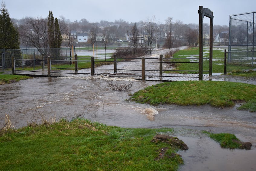
The new plans were unveiled before council on Tuesday by CBRM wastewater operations manager Matt Viva. The municipal engineer noted that the initiative to better protect the flood-prone neighbourhood, which includes the Baille Ard Trail, arose from the 2016 Thanksgiving Day floods that devastated property and infrastructure in the low-lying area around the waterway known as the Washbrook.
The original option that came out of a consultant-conducted flood risk assessment, and that was later endorsed by council, included the establishment of what is referred to as Pond 5, a man-made catchment basin. That option called for the construction of six earthen berms that would have crossed the trail system at 11 different points. According to Viva, that concept would have disturbed 360 metres of trail, whereas the new plan will only affect 12 metres of trail.
And Viva said the changes resulted from the diligence of the Baille Ard Trail Association.
“They raised some concerns associated with the Pond 5 layout in terms of its appearance and perceived impact on the trail system,” he recalled.
“So we came back to council which directed staff to keep the association as key stakeholders throughout the design and build process of Pond 5 – the trail group then brought its own conceptual design of the Pond 5 berms to the table and that design will result in much less of a disturbance on the trail footprint.”
Viva said the engineering consulting firm CBCL Ltd. then took the association’s proposal and came up with a modified Plan 5 concept. And he said the new plans can be carried out at no cost to the CBRM given that the project qualifies for full-funding under the federal government’s Disaster Financial Assistance program.
Although Pond 5 has garnered the most public attention, two sister projects are also part of the flood mitigation initiative. The Mud Lake flow control structure is already functional, while a similar structure at Gilholmes Lake has been designed and is expected to be completed this year.
The two lakes are located south of Highway 125 between Mira Road and Grand Lake Road.
Meanwhile, on a related initiative, CBRM council heard a presentation by Wayne McKay of the Washbrook Greenway Coalition outlining the group’s vision to connect the Sydney waterfront with the Baille Ard Trail. McKay said the proposed trail will be a combination of park walkways, quiet residential streets and streamside pathways keeping to green space as much as possible.