Environment Canada is advising the public to monitor weather alerts and forecasts in a special statement issued this morning.
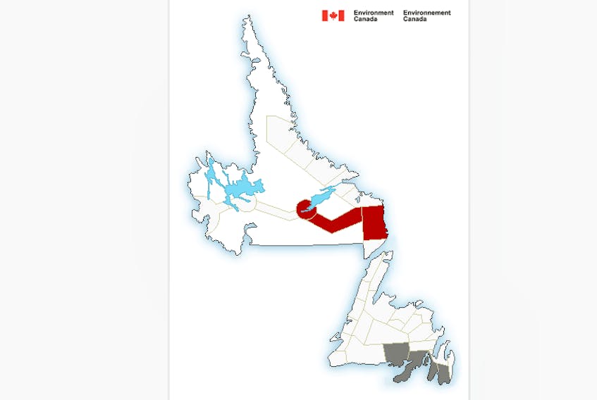
The statement says a series of disturbances brought by a warm, tropical air mass approaching Newfoundland from the south will create unsettled conditions in southeastern Newfoundland beginning today and continuing into early Tuesday.
Environment Canada warns that under this type of air mass it is not uncommon to experience sudden heavy downpours producing high rainfall rates, embedded in otherwise moderate showers.
Localized total rainfall amounts could reach 50 mm by Monday evening, with further amounts possible Monday night into Tuesday morning, the statement says.
This can result in local washouts and dangerous driving conditions due to heavy water buildup on roads.
The public is advised to monitor future forecasts as warnings may be required.
In the meantime it is 15C and misty in the St. John’s area this morning. Temperatures are expected to rise to around 20C but will feel as warm as 26C because of high humidity.
Expect showers with risk of thundershowers today and this evening.
Tonight winds will be southwest 20 km/h gusting to 40. Temperatures will dip to 16C.