July got off to a cooler than normal start across the Maritime Provinces and that had beachgoers chorusing, “Where’s the heat?” Well, the summer sizzle has returned. If it feels a little tropical today that's because this air mass is pulling in warm, moist air from the tropics.
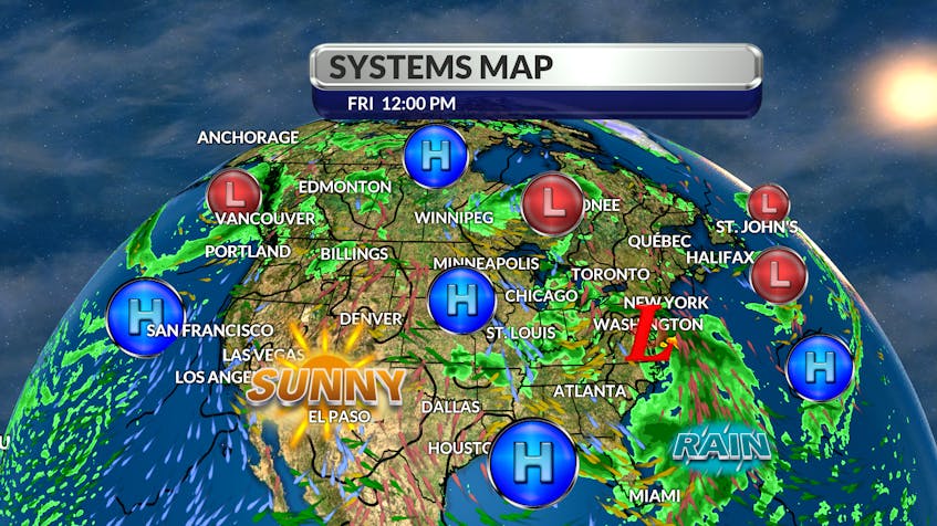
I have been watching a cluster of thunderstorms off the Carolina coast for a few days now. Environmental conditions are conducive for the development of a tropical or subtropical cyclone. When the area of instability reaches that threshold, the storm will be named Fay. Fay will be the earliest tropical storm that begins with an "F" in the Atlantic basin, on record. The previous record was set on July 21, 2005.

The track is still a little uncertain but I believe an offshore high will hold the storm close to the eastern seaboard; that would keep the storm away from the Gulf Stream and over much colder water. The main energy would likely come across western Maine, cross over northern New Brunswick, and finally make its way to southeastern Labrador.
The storm is expected to lose its tropical characteristics and come ashore with heavy, narrow rain-bands and wind gusts of 50 or 60 km/h. Look for a change of air mass and drier conditions by Tuesday.

- Want more weather information? Visit your weather page.
- Have a weather question, photo or drawing to share with Cindy Day? Email [email protected]
Cindy Day is the chief meteorologist for SaltWire Network


