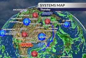
It's been quite a week. It started with snow on Mother's Day, followed by rain, then when the clearing came it was accompanied by a cold northwest wind.
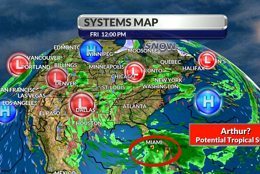
All that is behind us and all of sudden, we’re watching a possible pre-season tropical storm.

The convective energy that’s churning over the Straits of Florida is expected to become better organized just north of the northwestern Bahamas this weekend.
The sea surface temperatures off our coastlines are much too cold to sustain tropical activity but some of the heavy rain could feed into a trough coming across the Great Lakes on Monday. The position of a cold high will deflect the wet weather and the significant rainfall should be limited to the western corner of Nova Scotia and southern western New Brunswick.
That kind of system might be just what the gardeners ordered. The strength of the large, albeit weakening system, could shift the jet stream to the north and finally pull in some much-anticipated heat across Atlantic Canada.

- Want more weather information? Visit your weather page.
- Have a weather question, photo or drawing to share with Cindy Day? Email [email protected]
Cindy Day is the chief meteorologist for SaltWire Network