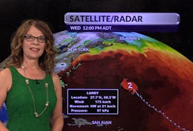
I've been forecasting the weather for a very long time — there is no need to mention numbers since I know you can do the math. When you do something over and over, you stop questioning it and make assumptions. The other day, I received this email from Ron:
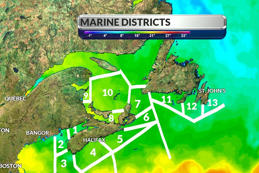
“I very much enjoy your daily page on the weather. Not only is it informative and interesting, it is readable and enjoyable! If I may make one small suggestion: for those unfamiliar with the exact locations of Lurcher, Southwestern Shore, Eastern Shore and, the only really obvious one, the Bay of Fundy, would it be possible to add the boundaries of each to the REGIONAL OUTLOOK map?
Kindest regards,
Ron Bullock
Murphy Cove (Eastern Shore- Western half?)”
I'm so glad that Ron took the time to write. I'm not sure that I can add the grid and names to the relatively small Regional Outlook map, but for those that are curious, here’s the scoop:
About a year ago, someone was inquiring about Lurcher, wondering where the name came from. I received many interesting letters, all with similar questions and stories. Here is one of my favourite from Wally Buchanan, Sandy Point – Shelburne county N.S.:
“Growing up in Southern Nova Scotia, it was common to hear the old sailors talking about staying clear of the “Lurcher Shoals” during stormy weather, as it would be suicide to try to pass through that area. Over the years the government had Lightships on station. As for the name Lurcher, it would be right on to describe an area of shallow water that would cause the old sailing ships to lurch and often capsize. I have also heard it was caused by the strong Fundy tides combined with strong NE winds, forcing water over the shoals during storms.”
If you have questions, comments or photos to share, please send them along to weathermail@weatherbyday.ca.
- Want more weather information? Visit your weather page.
- Have a weather question, photo or drawing to share with Cindy Day? Email weathermail@weatherbyday.ca
Cindy Day is the chief meteorologist for SaltWire Network