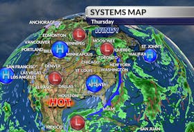

Over the next 24 hours, many of us will experience our coldest temperatures of the year, thanks to a massive but cold high-pressure system parked south of the Great Lakes. The icy north wind on the leading edge of the system is serving up dangerously low wind chill today and by tomorrow morning, the lack of wind will allow air temperatures to drop to near-record values. But, as they say, if you don’t like the weather, just wait… it’ll change. And change it will. By Sunday afternoon, it will be mild enough for a line of wet snow to change to a rain/snow mix across much of the region. We can expect partial clearing behind the fast-moving clipper early in the week. It’s still many days off, but I’m keeping my eye on a developing upper air disturbance that could become a midweek storm over much of Atlantic Canada.

- Want more weather information? Visit your weather page.
- Have a weather question, photo or drawing to share with Cindy Day? Email [email protected]
Cindy Day is the chief meteorologist for SaltWire Network