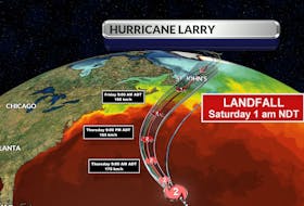
Every time a tropical system makes a beeline for Canadian waters, I get inundated with questions about landfall.
Of all the crucial messages that must be communicated when a hurricane or post-tropical storm approaches, I believe that landfall is one of the least important.
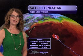
Teddy is about 600 km in diameter and tropical-storm-force winds stretch 300 km from the centre of the storm. By the time landfall arrives, it’s usually been quite stormy for many hours.

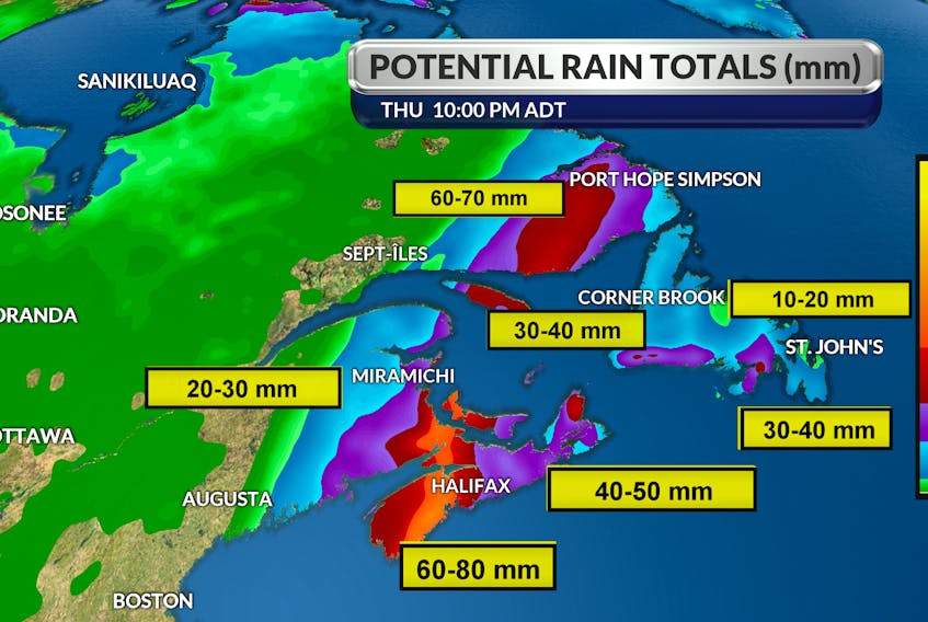
Teddy, for example, is not expected to reach the west coast of Newfoundland until late Wednesday evening, Sept. 23. The rain bands will reach us almost 24 hours before that – by the end of the day today, Sept. 22. Wind gusts, however, will peak along the south and southwest coasts Wednesday morning. I expect the wind to drop off significantly during the day, before re-intensifying from the north Wednesday evening and overnight.
Please head the warnings, stay away from the water’s edge, check on neighbours and loved ones and be safe.
- Want more weather information? Visit your weather page.
- Have a weather question, photo or drawing to share with Cindy Day? Email [email protected]
Cindy Day is the chief meteorologist for SaltWire Network