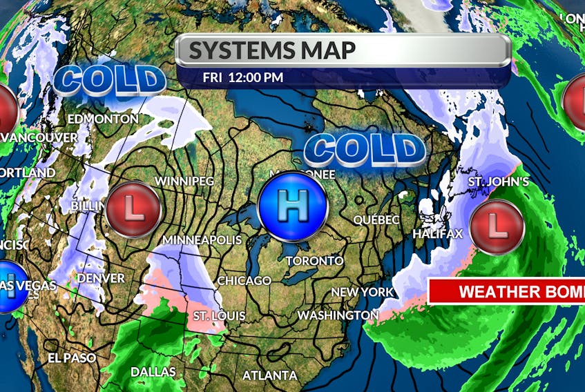
Let me start by saying that the term “weather bomb” is real. It’s a term given to a system undergoing explosive cyclogenesis. In other words, if the central pressure of a weather system drops more than 24 millibars in 24 hours or less, the storm can be referred to as a weather bomb.
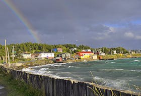
That explains the wind we’re experiencing today. In nature, everything flows from a high to a low. Cold air associated with the high-pressure system over Quebec is flowing into the deep low just south of the Avalon. The lower the pressure, the faster the flow or wind will be; wind gusts are expected to reach 140 km/h just off the Avalon today.

This powerful storm is going to linger into the overnight hours and snowfall totals will continue to climb along the east coast. As the low pulls eastward, wind-driven snow or snow squalls will develop along north and west-facing coastlines.to the cold high – its positions is not ideal. It’s just far enough west of our region to allow another weather maker to roll through. This one will be much weaker and will race across the Island with snow from west to east on Sunday.
The snow will change to rain on the Burin, the Avalon and along the east coast by Monday morning. Snowfall totals will be highest over western regions with 10-15 cm likely by nightfall.

- Want more weather information? Visit your weather page.
- Have a weather question, photo or drawing to share with Cindy Day? Email [email protected]
Cindy Day is the chief meteorologist for SaltWire Network