Last week, a late-season hurricane named Zeta came for a visit. For the most part, the impact was minor as the storm stayed well off our coastline.
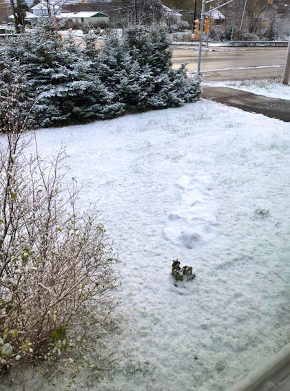
There was, however, a nice little pocket of snow on the backside of the system Friday night. Some of the highest snow totals were in southwestern Nova Scotia and across Cape Breton Island with as much as four cm of snow; not enough to shovel but just enough to make driving a little tricky.
Residents of the New England states, on the other hand, weren't quite so lucky. Zeta’s cold shoulder set a record October snowfall in Boston with 3.5 inches or nine cm of snow last Friday.
The category 2 hurricane that transitioned to an extra-tropical storm off the New England coast before racing out over the Labrador Sea could be described by some as a snowicane. I mentioned this term in last Saturday’s column about hurricane Ginny. On Oct. 29, 1963, Ginny dumped more than 100 cm of snow over parts of Maine and close to 40 cm of snow from Woodstock to Charlo, New Brunswick.
This seemingly odd scenario is not unprecedented. There have been a few examples of this fairly unusual occurrence over the years, but the most remarkable is hurricane Sandy.
On Oct. 30, 2012, Sandy dumped 66 centimetres of snow on Redhouse, Md., 61 cm in Alpine Lake, W. Virginia and 46 cm in Newfound Gap, Tennessee.
A hurricane’s transformation from a rainstorm to a snowstorm is a consequence of a blast of Arctic air that feeds into the storm after it moves out of tropical waters. Typically, a tropical storm would weaken as it moves northward into cooler waters but a dip in the polar jet stream can fuel a storm, prompting some to call it a snowicane.
A winter hurricane is also called a “bomb cyclone” because of its rapid cyclogenesis or drop in central pressure.
Speaking of weather bombs, that's precisely what barrelled across our region yesterday. The fall storm brought rain but it was more of a wind event. The deepening area of low pressure came up again a cold offshore high and the difference in air temperature and, therefore, air density served wind gusts of 120 km/h. It’s still quite windy and a lot colder today thanks to a wind shift to the west and northwest. We can expect diminishing winds on Wednesday followed by a warm breeze to bring in a little more heat towards the end of the week.
- Want more weather information? Visit your weather page.
- Have a weather question, photo or drawing to share with Cindy Day? Email [email protected]
Cindy Day is the chief meteorologist for SaltWire Network